-
Project
Randwick City Council Street Tree Database
-
Client
Randwick City Council
-
Sector
Street Tree Database
-
Value
-
-
Location
Randwick LGA
-
Year
2020
Street trees are a defining feature of the Randwick Local Government Area, contributing to neighbourhood curb appeal, summer shade and improved air quality along busy arterial roads.
In 2021, Tree Survey was engaged to establish a comprehensive and reliable record of trees across this LGA. To support the Council’s ongoing management, planning and maintenance of public tree assets, we developed and implemented a structured street tree database.
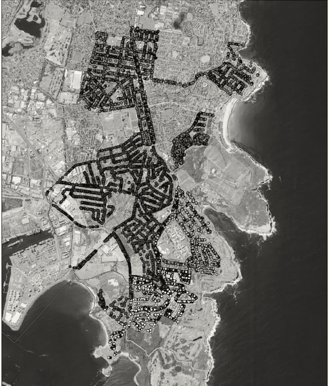
Our services involved the collection, organisation and spatial mapping of tree data to accurately record tree locations, species information and key attributes across the street network.
Geographic Information System (GIS) mapping was used to capture and present this information in a clear, accessible format, allowing tree data to be viewed in relation to roads, property boundaries and other public infrastructure.
The database was then configured to support consistent data management, future updates and integration with Council systems.
Delivered in collaboration with Council staff, this project provided an accurate, well-structured spatial dataset to inform day-to-day operations, decision-making and long-term management of Randwick’s street tree population.